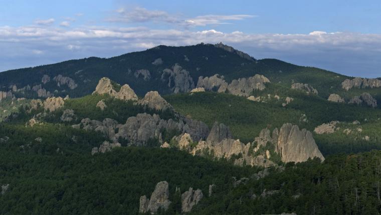
The trail begins at the trailhead but can be accessed at numerous locations apparent on the trail map. Both trails meander through stands of ponderosa pine, quaking aspen, and paper birch. Spectacular views of limestone cliffs are complimented by the ambiance of Little Spearfish Creek. The foundation of an old ranger station and a root cellar can be seen between Timon Campground and Rod and Gun Campground.
Trail Distance:
- 4.7 mile upper loop
- 3.2 mile lower loop
- 6.3 miles both loops
- 0.9 mile spur trail to the Old Baldy
