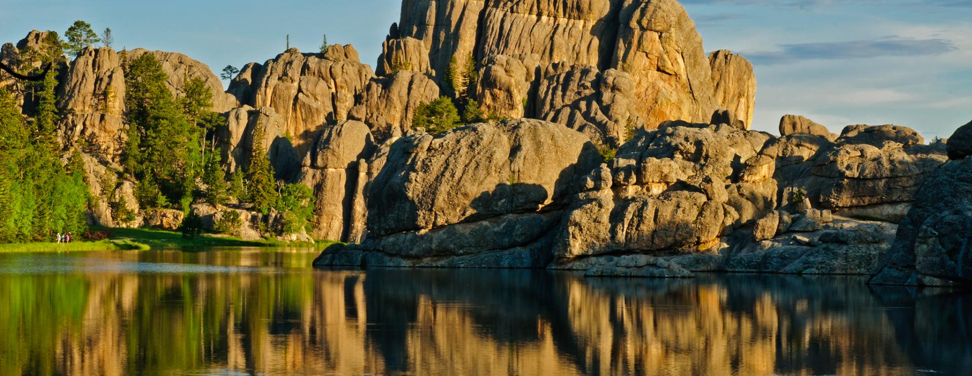
Even though the trailhead is at Sylvan Lake, which is a popular starting point for the Harney trails, this one is often overlooked, giving you a quieter hike. Simply follow the trail around Sylvan Lake to the trailhead, located behind the dam.
Custer State Park deservedly rates Sunday Gulch as a strenuous trail. The gulch is a nearly three-mile loop with the most demanding terrain at the beginning. To descend into the gulch, you’ll walk over large, slippery boulders with attached handrails and go down several sets of stairs. The rocks can be slick, so be sure to use the handrails. In the spring and early summer, this part of the trail can be submerged due to releases from Sylvan Lake, so outdoor hiking sandals are a good idea.
If you don’t have sandals, be prepared to doff the shoes and socks; the water can be knee-high in places. Consider yourself warned – the water will be COLD! Early in the season, ice is still sometimes visible along the trail. The rest of the year, water is rushing alongside the trail. This is fairly steep, rough ground, and hiking poles are helpful for keeping your balance.
The soaring, moss-covered granite walls alongside this section of the trail are magnificent, one of the most scenic spots in the Hills. Once down in the gulch, you’ll cross and re-cross the stream several times, sometimes on small footbridges and other times on rocks or logs. This section of the trail is green, mossy and quiet. Of course, because you descend into the gulch, you’ll have to climb back out. The second half of the hike is mostly uphill, so you’ll get a good cardio workout.
The loop is only 3 miles, so it’s an easy hike to do on the same day as Harney Peak if you’re up to it, especially since the Harney trailhead is also located at Sylvan Lake. If it’s a hot day, you can shed your pack and jump in! Just don’t scare the fish.
A park fee is required at the entrance. The trail is closed during the winter, from November through April. Download a map of the trails system at http://gfp.sd.gov/state-parks/directory/custer/docs/harney-peak-map.pdf.
